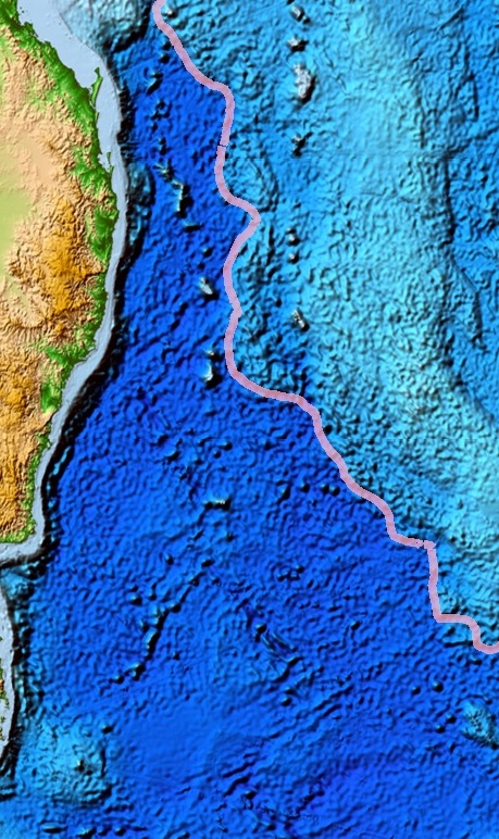
This remains Fathom’s deepest confirmed dive: 4,001 meters, right at the boundary between the abyssopelagic and hadal zones. The objective wasn’t biological — it was cartographic. This stretch of plain had never been mapped at any resolution better than satellite-derived bathymetry, which is accurate to hundreds of meters at best.
Our multibeam sonar pass produced meter-scale resolution across roughly 40 square kilometers, revealing a fault-line structure that doesn’t appear in any prior chart of the region. We’ve submitted the dataset to a public bathymetric archive so other researchers can build on it without needing their own dive.
We haven’t returned to physically sample this site — at this depth, near the edge of our vessel’s rated capability, we’re weighing whether a return trip needs a different, deeper-rated submersible partner before we commit to it.